Creation of the Dam and Lake

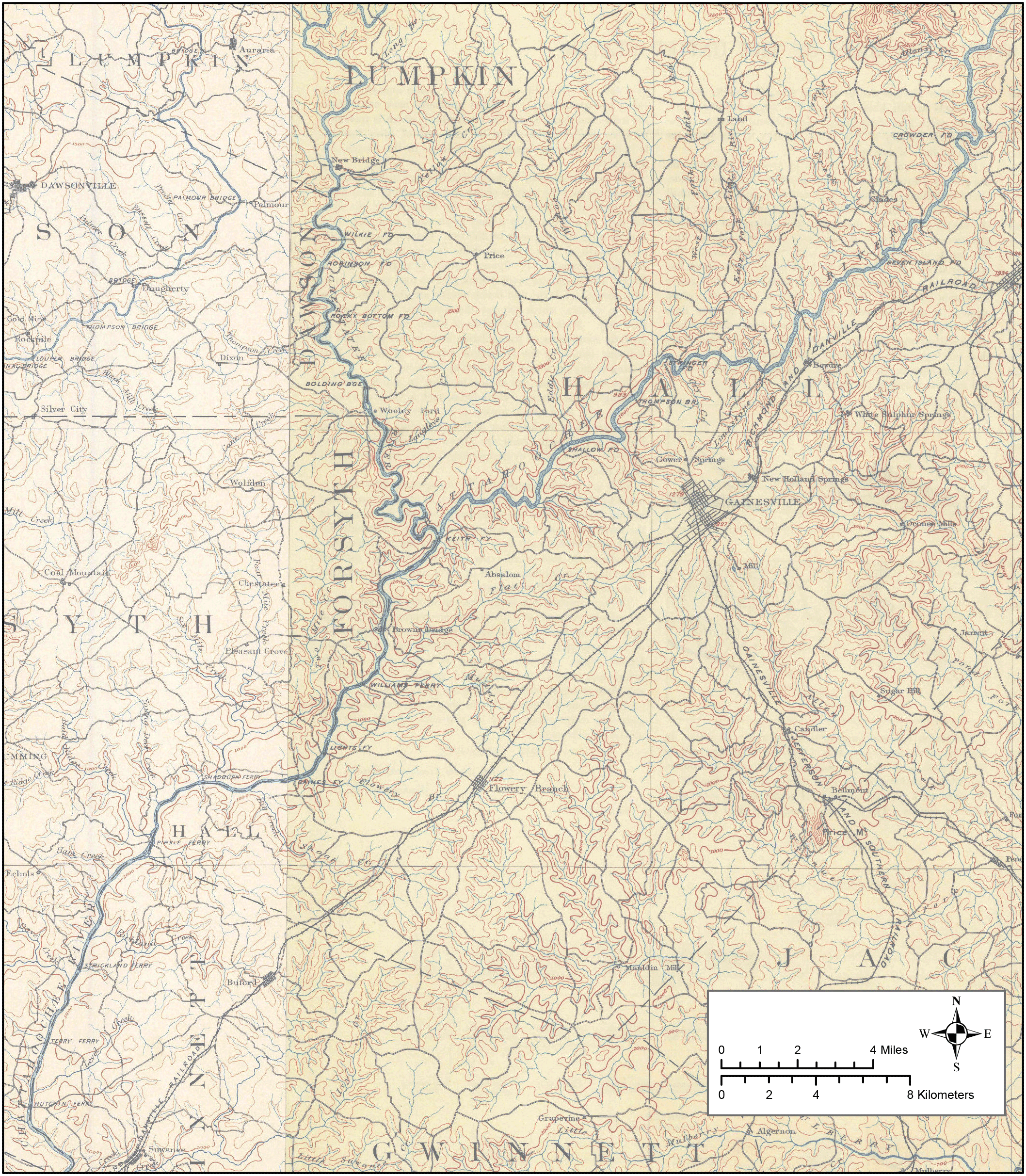
When the U.S. Army Corps of Engineers broke ground on Buford Dam in 1950, the surrounding area was rural. Farms, churches, and general stores dotted the landscape, which already had a long and troubled history.

1894 Map Showing the Area Prior to Lake Lanier and the Shape of the Lake Once it Formed: USGS 15-minute Gainesville (1891) and Suwanee (1894), GA Topographic Quadrangles

This map shows the area that would become Lake Lanier before the construction of the Buford Dam. The map shows the location of several small towns and communities that were flooded when the lake was created. The map also shows the location of several roads and railroads that were also flooded.

The construction of Lake Lanier had a significant impact on the people who lived in the area. Many people were forced to move from their homes, and businesses were disrupted. The lake also changed the landscape of the area, creating a new recreational destination for people from all over the state.
1894 Map Showing the Area Prior to Lake Lanier and the Shape of the Lake Once it Formed